Printable Blank Maps
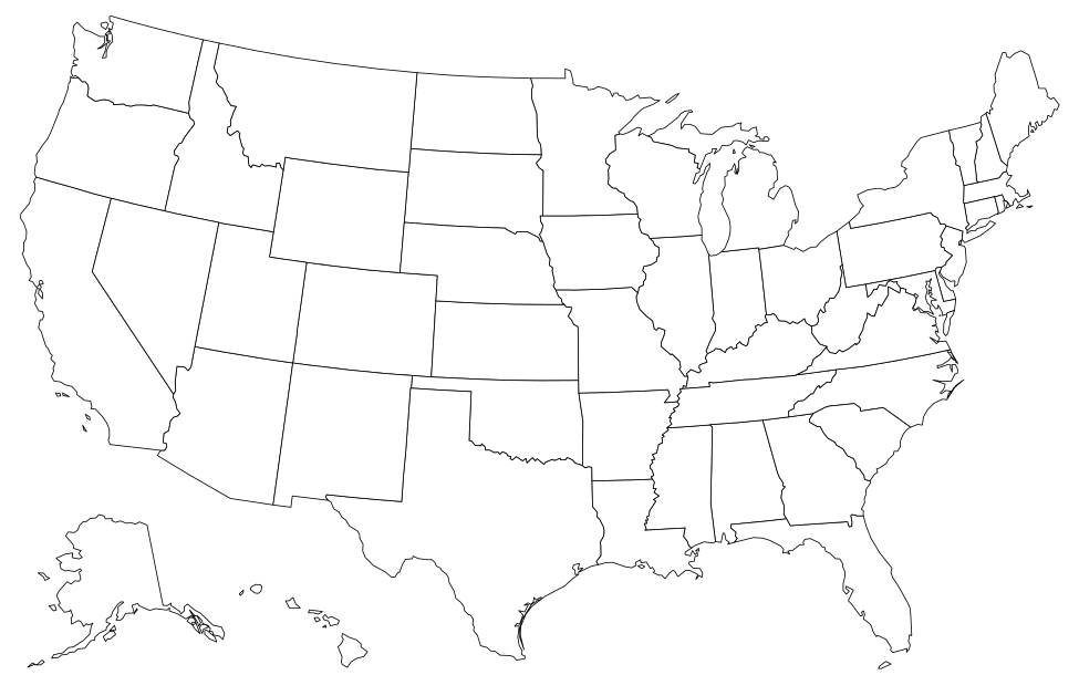
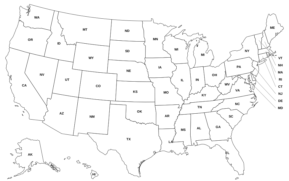
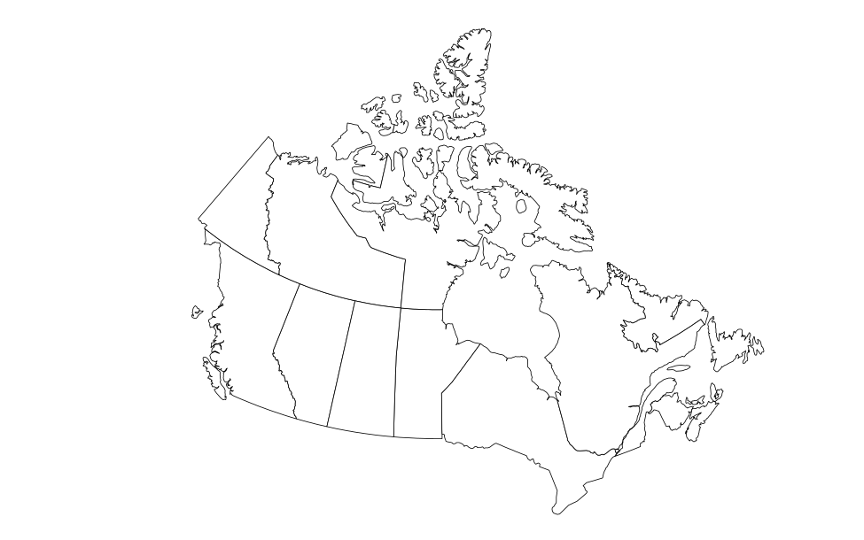
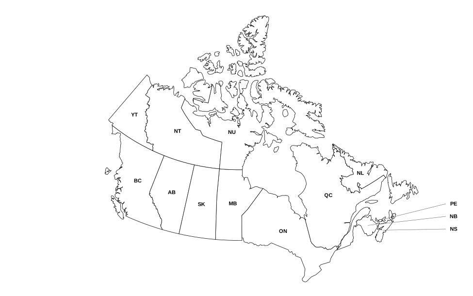
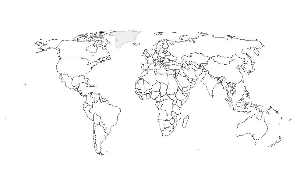
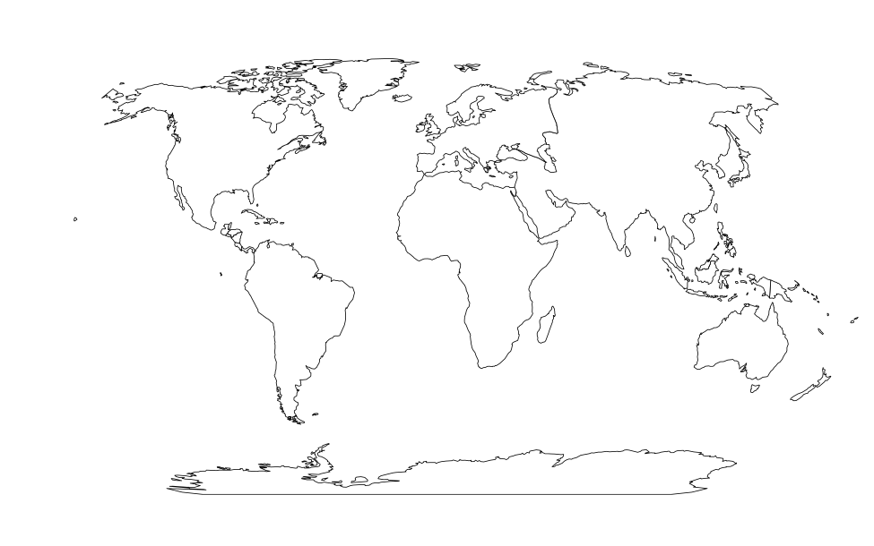
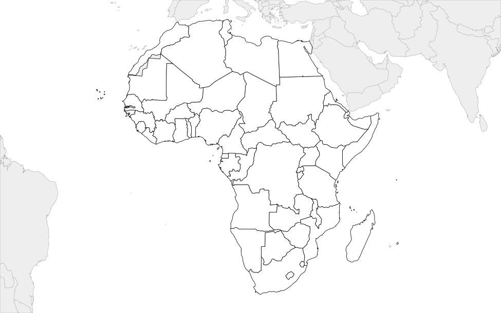
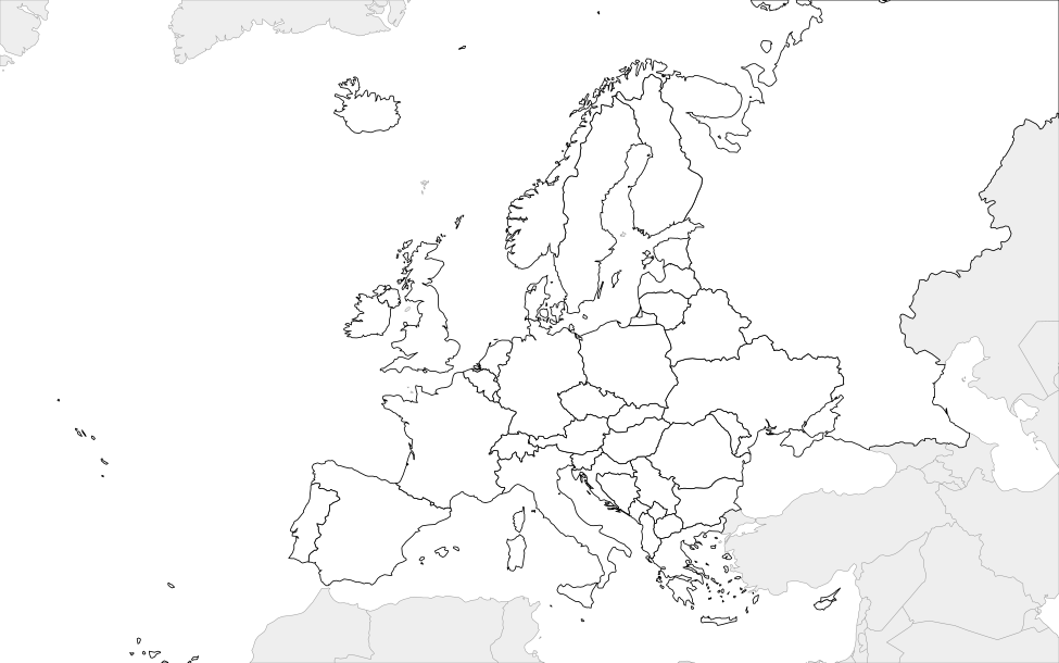
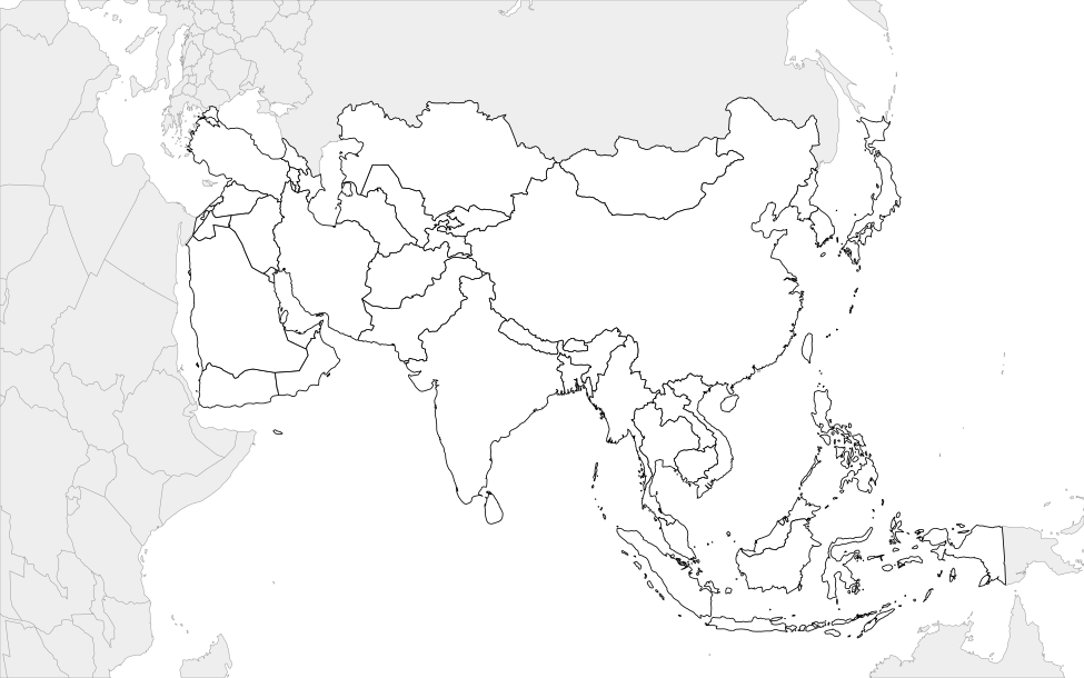
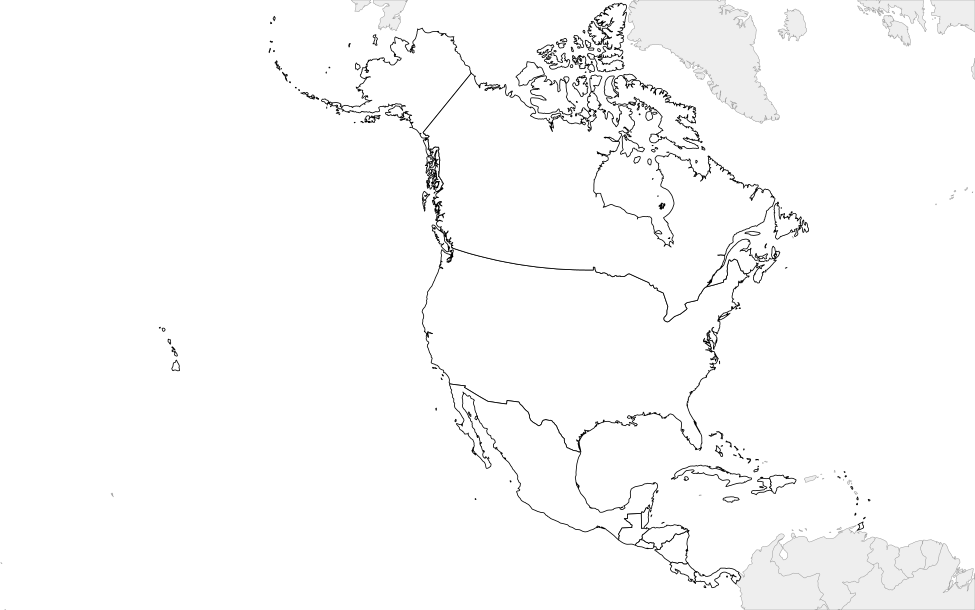
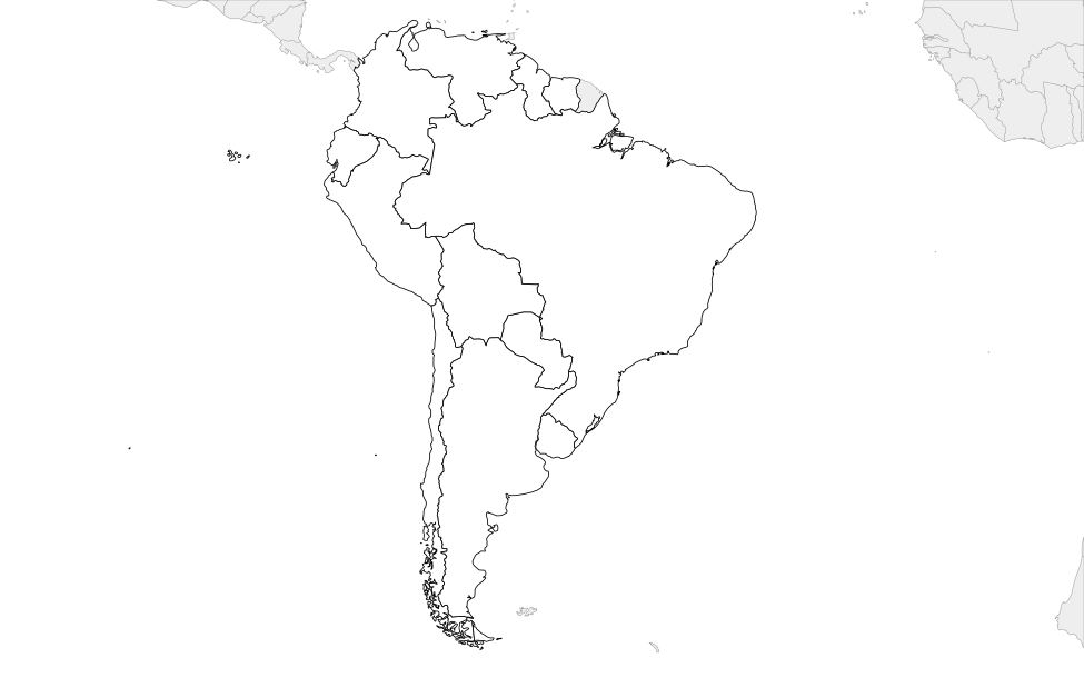
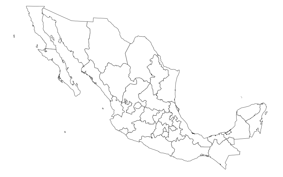
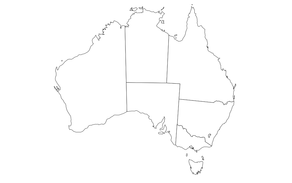
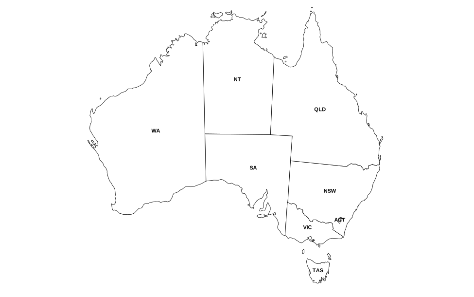
Free blank outline maps to print for geography lessons, quizzes and projects: a blank US map, a US map with state abbreviations, Canada (blank and with province abbreviations), a world map, and a blank map of every continent.
Each map prints on one landscape page with an optional name and date line, so it’s ready to hand out as a worksheet. You can also download any map as an SVG or a high-resolution PNG for slides and documents.
How to use it in class
- Choose a map. Scroll to the map you need – United States, Canada, World or a continent.
- Print it. Tap Print. The print page adds a name and date line, which you can switch off, then tap the Print button.
- Or download it. Tap SVG for a file that stays sharp at any size, or PNG for a large image that works in slides and documents.
- Pair it with a quiz. After students label the paper map, have them check their work with the matching online quiz.
- Use it again. Print as many copies as your class needs, any time.
Classroom ideas
Label from memory
Hand out a blank map and give students five minutes to label as much as they can, then check with the online quiz.
Color-coded regions
Have students color a continent map by region, climate or language, with a key in the margin.
Route and travel projects
Students draw a trip across the US or Europe, marking each state or country they pass through.
Frequently asked questions
Are these maps free to print?
Yes. Print as many copies as you need for your classroom.
What paper size do they print on?
They’re set up for a landscape page and fit both US Letter and A4.
Can I remove the name and date line?
Yes. Untick “Name & date line” on the print page before printing. You can hide the title too.
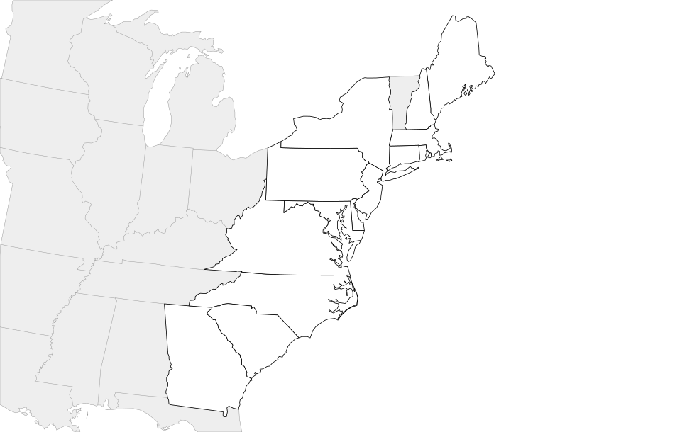
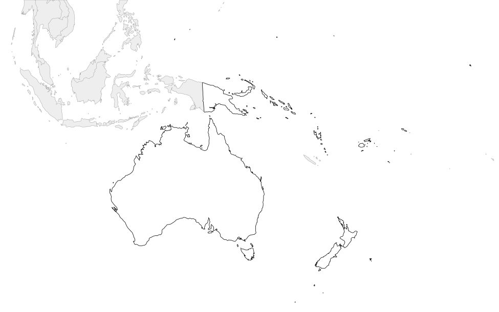
Why are some countries gray on the continent maps?
Gray countries are neighbors outside the continent, shown so students can see the borders around it.
Where does the map data come from?
The maps are drawn from Natural Earth and US Census Bureau map data – the same data the online quizzes use.